Ground Surface Mapping and Digital Twin Airport Models
Accurate ground mapping is the foundation that makes airport digital twins operationally useful.

With precise airfield geometry, digital ATC systems have the spatial foundation they need to make sense of movement, detect conflicts, and guide traffic safely. The practical conclusion is that ground mapping is not a preliminary visualization task, but the first investment in a usable digital airport architecture.
Why ground surface mapping is the right place to start understanding digital twin airports
A digital airport model can look convincing without locating a runway edge accurately enough to support a movement decision. That gap separates a rendering used for planning and presentation from a functional twin used to track, predict, and support intervention in live operations. Airport movement depends on exact spatial relationships among runway edges, taxiway intersections, hold-short lines, and apron boundaries. Distances and angles matter to the nearest meter, rather than simply needing to look proportionate on a screen. A model that approximates those relationships leaves ambiguity where traffic management requires precision.
Ground surface mapping records the geometry that allows operational systems to distinguish one movement area from another. Without that foundation, a model may show movement but cannot reliably establish its relationship to a boundary or intersection. Understanding digital twins begins with this difference between displaying activity and representing the space in which that activity must be managed.
What airport digital twins actually do in live operations
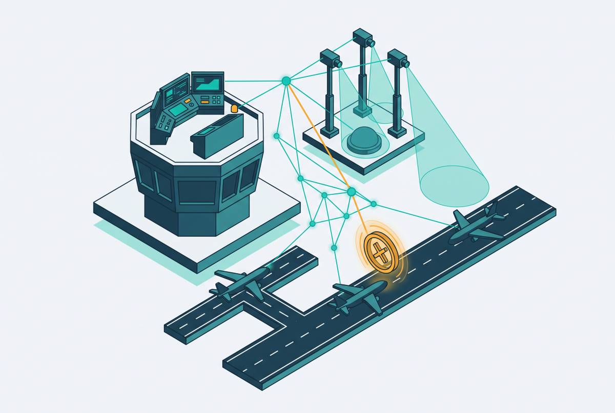
An airport digital twin is a dynamic, continuously updated virtual replica of physical airport operations. It can track aircraft and vehicle positions, simulate emergencies and congestion, model crowd dynamics, and test configuration changes without disrupting live operations. These functions connect current conditions with possible operational responses. Their value depends on how faithfully the virtual environment represents the real one.
San Francisco International Airport developed its digital twin in coordination with Esri, layering real-time data over hundreds of thousands of static infrastructure features. The system enables the operations center to monitor a traveler's full journey from highway approach through terminal. Dallas/Fort Worth International Airport uses a Willow Inc digital twin for operations and a motional digital twin from Outsight.ai to analyze the movement of people and vehicles. SuperMap's Airport Digital Twin System supports panoramic situational awareness, airside operations, simulation, and facility and equipment maintenance management.
The FAA's 2026–2028 Controller Workforce Plan extends the role of digital twins into regulatory planning. It states that the agency will integrate digital twins and advanced AI and machine learning models to simulate NAS performance well in advance of day of departure. The plan also identifies their role in optimizing and balancing demand in constrained airspace markets.
Why the base infrastructure layer — ground surface mapping — determines whether those functions work
For these functions to work, the system needs a static spatial layer that shows where infrastructure lies. Ground surface mapping produces that layer by capturing surface elevations, pavement boundaries, and structural features in georeferenced form. The system can then compare live position data with the physical features in that layer. The San Francisco International Airport architecture makes this dependency explicit by placing real-time data over base infrastructure data. The dynamic layer does not replace the ground model, but relies on it.
Consider a taxiway boundary represented in the wrong place. An aircraft's reported position may be accurate, yet its relationship to that boundary will be wrong within the model. Conflict detection, routing, and simulation systems that use the same geometry get the same error. An inaccurate hold-short line creates the same problem at a location where the distinction between approaching and crossing a boundary matters directly.
This is the same limitation that applies to navigation. Accurate satellite positioning cannot make a GPS route reliable if the road geometry in its database is wrong.
How ground surface mapping is done and what it produces
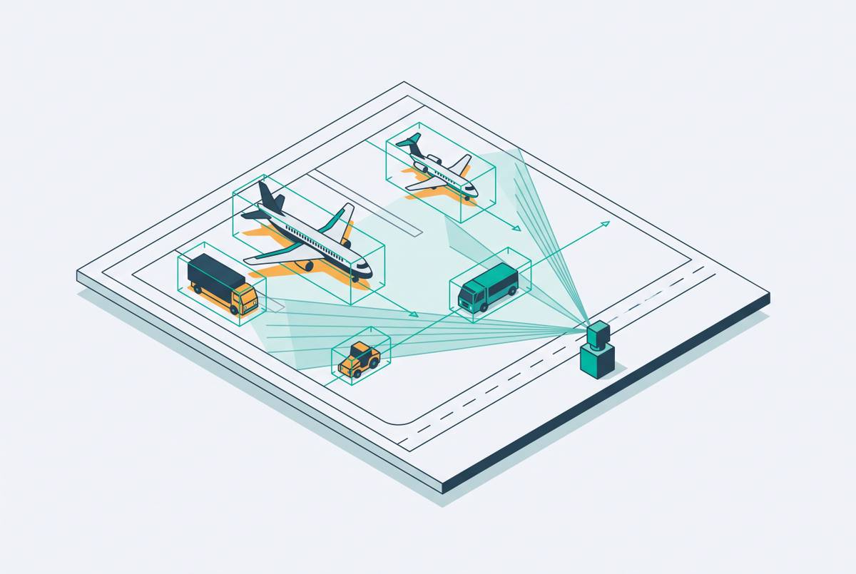
To build a usable airfield model, survey-grade data must be collected at the resolution and georeferencing precision that ATC and movement systems need. The data comes from LiDAR point clouds, photogrammetric surveys, ground-based GPS control networks, and existing construction drawings. San Francisco International Airport's twin used construction drawings as a data source. These inputs support a georeferenced surface model rather than merely a collection of separate images or plans.
That model defines relevant features including runway centerlines and edges, taxiway intersections, apron boundaries, drainage gradients, and obstacle heights. Their positions must be precise enough for the operational task. Knowing a hold-short line's location to within a meter supports ATC in a way that knowing it to within several meters does not. This is the practical distinction between survey-grade mapping and general-purpose GIS data.
Accuracy also has a time dimension. Construction, resurfacing, and expansion change the physical airport, so the twin must keep up with those changes to stay usable in live operations. How the data is structured also matters because operational systems need to use the geometry in the same way. SuperMap's integration of the Airport Information Model (AIM) standard illustrates the effort to organize spatial data for interoperability.
What happens when spatial accuracy is absent — the safety consequence at uncontrolled airports
At non-towered airports, the need for reliable spatial awareness meets the absence of a controller who can help manage separation. Runway separation depends on what pilots do, including radio calls on the CTAF, visual scanning, and following standard traffic pattern procedures. FAR 91.113 and 91.126 govern these operations, but no controller enforces or verifies those actions. Familiarity with local patterns therefore carries particular weight. Errors in a pilot's understanding of the traffic situation lack that external layer of correction.
Pilot deviation accounts for close to two-thirds of all U.S. runway incursions. At non-towered airports, it becomes nearly the only category that can exist because the operational-incident category requires a controller to be present. This distinction matters when interpreting the safety record. The absence of controller-related incidents does not establish that an uncontrolled field has adequate traffic awareness.
The broader severity trend adds urgency. Severe incursions, Category A and B, rose sharply in fiscal year 2025 even as the total number of incursions fell slightly. The ICAO 2026 Safety Report identifies runway incursion as one of five global high-risk occurrence categories that together account for more than half of all fatal accidents in 2025. Ground mapping alone cannot prevent these events. Its role is to provide the spatial prerequisite for digital ATC systems that can address part of the awareness gap left by the absence of a controller.
How a spatially accurate ground model enables digital ATC to detect conflicts and guide traffic
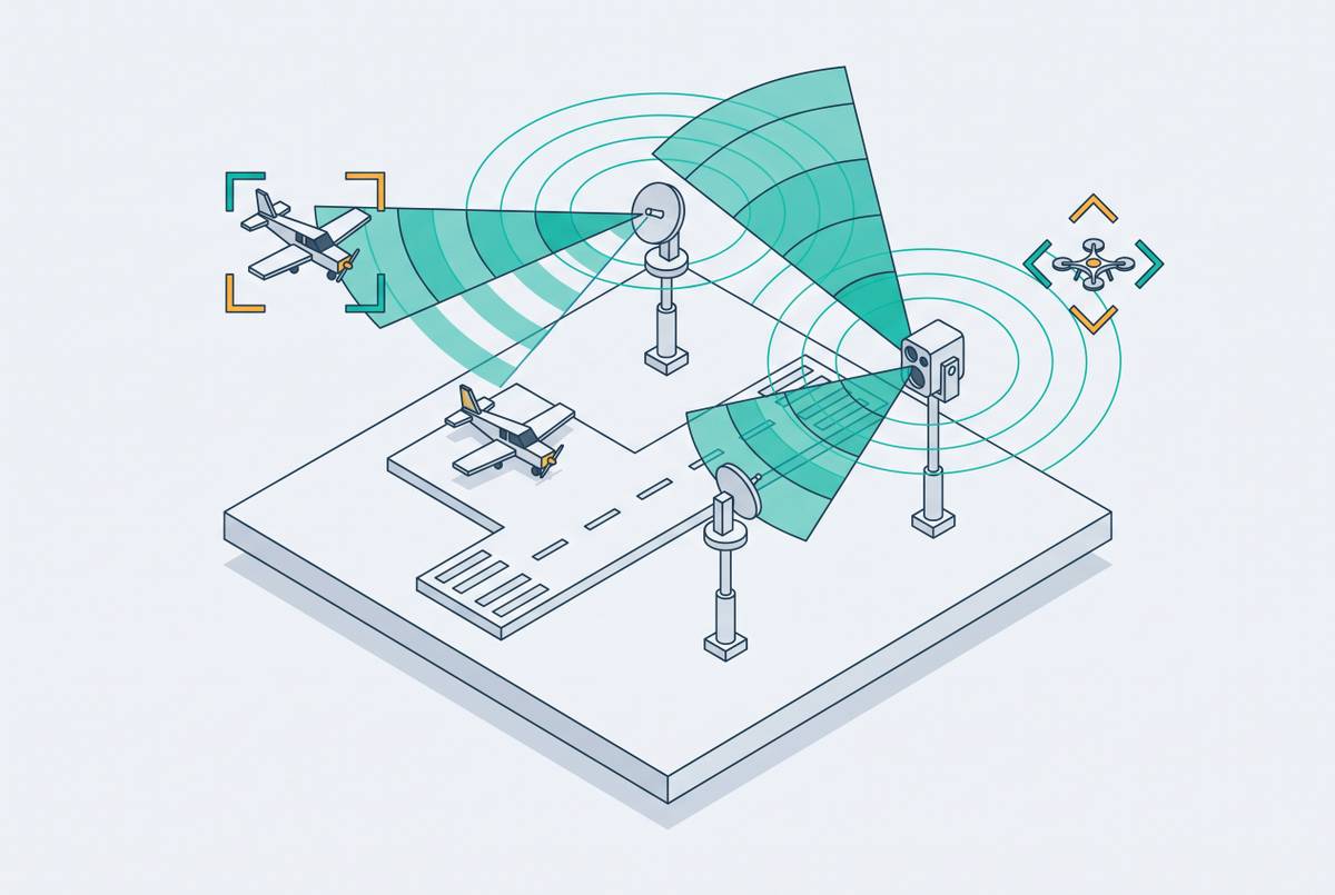
Digital ATC connects that spatial prerequisite to live traffic management. Digital tower systems combine high-definition cameras, sensors, and software to provide real-time panoramic situational awareness from a remote location. However, observing movement and interpreting it against airfield boundaries are different tasks. The georeferenced ground model supplies the physical context for what the sensors observe. Aircraft and vehicle positions must map to the right features in the right places before the system can support safe movement management.
Conflict detection checks where traffic is against the defined geometry of runways, taxiways, and restricted zones. An imprecise zone definition therefore creates an imprecise detection boundary. Accurate geometry helps the system spot a possible conflict and guide traffic through the movement areas in the model. The digital tower and digital twin thus share a spatial-awareness architecture that ties their work together.
Live deployments demonstrate that remote tower operation is more than a modeling concept. London City Airport has been managed by a remote tower since 2021. Nav Canada has built and is operationally testing a digital tower system at Kingston Airport. Western Sydney International shows how an airport without a physical tower can add capability through software updates and more camera modules, with no need for concrete construction.
Why the many U.S. airports without towers are the most important deployment context for this technology
Most U.S. airports operate without towers, so smaller and non-towered airports are key places to put this technology to use. Traditional tower infrastructure carries construction and staffing demands that are economically unjustifiable at lower-traffic airports. That constraint does not remove the need for traffic awareness or conflict management. Instead, it leaves a mismatch between the safety function an airport could use and the infrastructure it can sustain. For these facilities, digital ATC is not simply an upgrade to an existing tower.
Digital tower technology changes how costs are shared because a remote facility can manage more than one airport site at a time. Each airport still requires an accurate ground model, since sharing a remote facility does not make local geometry interchangeable.
The operational case reinforces this economic logic. Airports without towers disproportionately draw transient pilots unfamiliar with local patterns and terrain. That unfamiliarity matters most where no controller is available to compensate for it.
How digital ground models support UAS integration and future NAS operations at smaller airports
UAS operations at and near airports require precise geofencing and conflict management. The georeferenced geometry used to define digital ATC conflict boundaries also supplies the boundaries on which UAS management depends. These are related uses of the same airfield model. Their common requirement is a faithful representation of the space in which different operations interact.
An accurate digital twin also provides a simulation environment for testing new runway configurations, UAS corridors, and emergency procedures without disrupting live operations. The usefulness of those tests depends on the modeled airport matching the physical one. A simulation based on approximate geometry carries that approximation into its assessment of a proposed operation. Spatial accuracy therefore matters both to managing current movement and to evaluating what could change.
The FAA's plan to use digital twins for NAS simulation makes this local modeling work part of a wider move toward automation. The Flight Safety Foundation's 2025 Safety Report identifies the convergence of uncrewed systems, business aviation, and new operational concepts with existing infrastructure as a growing source of systemic risk. Accurate ground models give digital twins a foundation for examining that convergence before new concepts enter live operations.
What airport operators and policymakers should understand about investing in ground mapping as a first step
For airport operators, the practical first step is investment in a precise georeferenced ground model and a process for maintaining it. The model is a shared spatial asset that can serve digital ATC, UAS management, emergency simulation, maintenance planning, and future automation. Its value is not consumed by the first system that uses it. A single authoritative source gives each system that uses it the same view of the airport. Keeping that source current is as important as producing it initially.
For policymakers, ground mapping can be framed within existing infrastructure funding mechanisms, including AIP grants and federally supported infrastructure programs. The purpose is to establish the foundational data layer for broader digital modernization. Accurate local models are what make that consolidation operationally credible.
Purpose-built digital tower systems for small and non-towered airports provide a way to turn this foundation into operational coverage. The achievable sequence begins with representing the airfield accurately, maintaining that representation as the airport changes, and using it to support digital capabilities that depend on precise spatial awareness.