Visual Angle and Depth Perception Loss in Remote Tower Video
Video systems must compensate for lost depth cues to match tower observation.
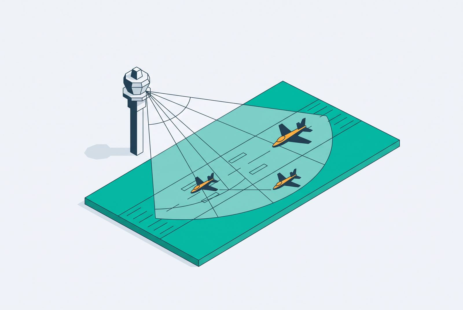
Remote tower video changes how controllers perceive distance, position, and movement. Compressed visual angles, lost binocular depth cues, and reduced parallax are built into the limits of the medium and go beyond flaws in image quality. To give controllers the same situational awareness as direct observation, systems must base their compensation methods, reliability, and evaluation criteria on how those perceptual mechanisms work.
What a controller loses when the window becomes a screen
A conventional tower cab gives a controller a spatial environment. Binocular depth perception supports estimates of distance and closure rate, while peripheral vision helps reveal unexpected movement across the movement area. As the controller moves their head, motion parallax provides another way to confirm the relative positions of aircraft and vehicles. Natural lighting and changes in the weather give controllers more context. Ambient sound, including engine noise and wind shifts, can alert controllers to activity before they can see an aircraft.
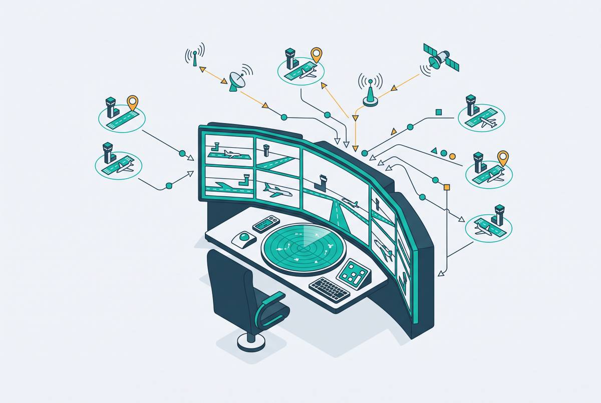
Each cue supports a different part of observation. Their contribution is not limited to identifying an object, but includes judging where it is, how it is moving, and what else is happening around it. Remote tower architecture substitutes for this sensory environment through multiple modalities, primarily video supplemented by microphones, infrared sensors, radar data, and meteorological feeds. Cameras and sensors, a network, and a display wall mediate the resulting view. The substitution is comprehensive, so its adequacy depends on more than whether the runway is clearly visible on screen.
How 2D video compresses and distorts the spatial information controllers depend on
The first subtraction occurs at image capture. A conventional 2D video image does not encode the binocular disparity or observer-dependent motion parallax that the human visual system uses to estimate distance and relative position. A controller viewing that image therefore lacks spatial information available through direct observation, even when the display reproduces the feed clearly. Moving their head does not provide the changing view of the airfield that it would through a window. A better displayed picture alone cannot bring back cues that the captured image lacks.
Lenses that cover large parts of an airfield with fewer cameras distort spatial relationships, especially near the edges of the frame. Perceived distances can be extended while objects appear closer together than they are. The image may show the aircraft and vehicles the controller needs to see, but with different visual angles from those seen through direct observation.
Narrowing the view creates a different loss. Laboratory study on quality of experience and user experience for teleoperation found that a narrow field of view reduced visible context and made depth estimation more difficult. Participants reported less ability to assess positional relationships between objects. The study also found that latency, the delay between a physical event and its displayed image, had the largest effect on navigation accuracy. That effect became stronger when the field of view was constrained, showing that limited context and delayed information compound each other.
Image quality affects confidence as well as perception. The same study found that higher video quality made people more confident in their depth judgments and reduced visual strain, though it had less effect on objective performance. These teleoperation findings identify mechanisms relevant to remote observation. Panoramic imaging systems used in remote towers also face constraints involving insufficient depth perception, image quality, computational demands, bandwidth, and latency. Discrepancies in spatial and movement perception in panoramic environments reinforce the distinction between presenting a continuous scene and preserving its spatial information.
Why depth compression is not the same problem at every airport
The operational significance of missing cues depends on the work the controller must perform. At a low-traffic airport with a single runway, few simultaneous events, and long inter-arrival intervals, there is time to interpret monocular depth cues. Known object sizes, perspective convergence, and aerial perspective can help establish distance when binocular information is unavailable. These cues can help even in a flat image. Their usefulness, however, depends partly on whether the controller has enough time and attention to interpret them while managing the operation.
Sweden provides operational evidence that this trade-off can be manageable. The world’s first remote tower entered service there in 2015, and the country now operates eight airports under remote control. All are low-to-medium-complexity facilities. That experience establishes a practical case for remote observation within those operating conditions, rather than a general conclusion that missing depth cues are inconsequential. The scope of the evidence is important because success in one environment does not establish equivalent performance under a different perceptual workload.
Dense arrival and departure flows, multiple apron areas, runway crossings, vehicle movements, and irregular operations require controllers to track several relationships at once. Under that load, consciously reconstructing depth from secondary cues competes with other tasks, making the loss of automatic binocular information operationally significant. This is not a simple division between small and large airports, because complexity varies with the number and interaction of events. A limitation manageable under one workload becomes a design constraint under another, so validation must remain tied to the environment in which the system will operate.
The visual overlay and augmentation approach to compensating for lost depth cues
The engineering response is to supply information that the video image cannot provide on its own. Because the 2D feed itself cannot bring back lost binocular depth, compensation adds synthetic cues or other information about position to the scene on screen. The distinction is between reconstruction and capture. An overlay can help a controller understand a spatial relationship without recreating the physical cues available through a tower window. The judgment it helps the controller make determines its value, regardless of how much the augmented image looks like direct vision.
USPTO patent US11860641 and its continuation, US12085950, formalize visual overlay methods for remote observation and control. The continuation describes augmenting a video feed into a combined streaming image to provide an understanding of surrounding terrain without line-of-sight observation. These patents treat the perceptual gap as a distinct engineering problem with a specific response. They do not make the underlying limitation disappear. Rather, they establish a problem-solution logic in which additional information compensates for what the remote image omits.
Radar tags and identity overlays apply that logic by anchoring aircraft identity and tracked position to the visual scene. They provide explicit information where compressed geometric cues may be difficult to interpret. Object tracking and geo-fencing make up for another loss by automating intrusion detection that direct peripheral vision might otherwise help with. These functions compensate for different weaknesses in remote observation. Their adequacy therefore depends on the particular perceptual task.
High-definition zoom cameras serve a narrower purpose. Like binoculars, they help resolve fine detail on distant objects, but they do not restore the geometric depth information lost in panoramic capture. Wider field-of-view coverage addresses a different constraint by retaining more of the surrounding scene. The teleoperation study found that wider coverage mitigated latency effects through better situational awareness and reduced reliance on secondary visual cues. Display coverage is consequently a safety parameter, while zoom, tracking, and overlays each supply a different part of the compensating function.
What happens when the compensating technology itself fails
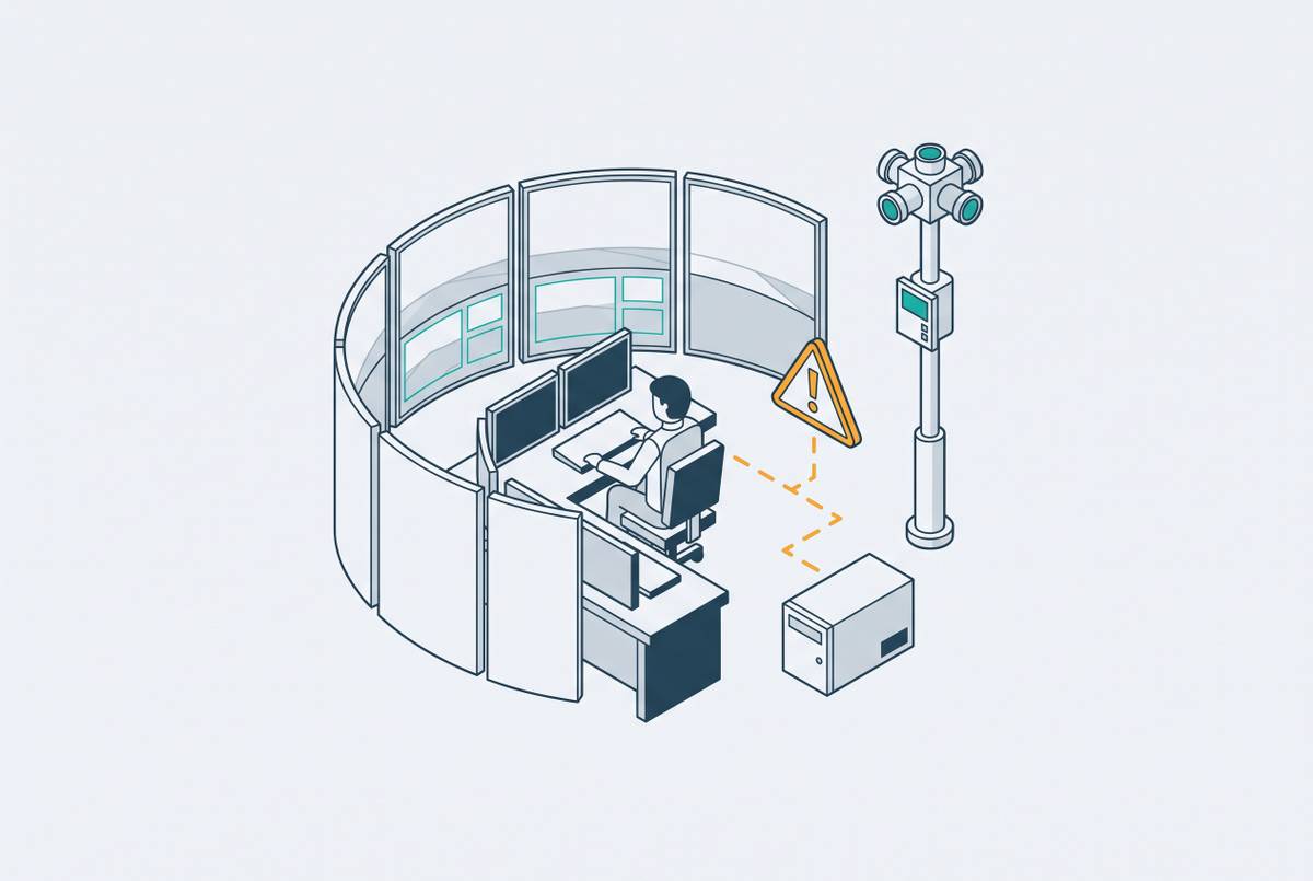
In a conventional tower, the loss of a supporting system can leave the controller with direct visual observation of the runway. In a remote tower, the visual environment depends on technical infrastructure, so a frozen image or blank screen removes live visual contact with the airfield. There is no window beneath the display.
The compensating layer depends on that infrastructure too. Radar overlays, geo-fencing alerts, and identity tags use the same network and power infrastructure as the video feed. A shared infrastructure failure can therefore degrade or remove both the primary image and the information intended to compensate for its perceptual limits. These are not necessarily separate losses with independent causes.
This dependence changes how overlay reliability must be treated. If an augmentation supplies information needed to maintain situational awareness, its failure is not simply the loss of a convenient enhancement. System designers must specify its redundancy and failure-mode behavior with the same rigor applied to the video feed. That requirement follows from its operational role.
Why understanding the perceptual mechanism is a prerequisite for sound system design and evaluation
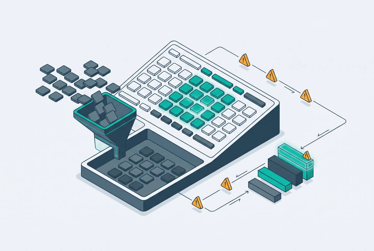
Evaluation must account for what a functioning system can misrepresent, as well as whether it remains available. Tests of hardware reliability and communication latency alone cannot find every human-factors failure linked to depth compression or wide-angle distortion. Technical compliance is therefore insufficient on its own. Designers, operators, evaluators, and regulators need an explicit account of which spatial judgments the image supports, which cues it removes, and how the system compensates under the intended workload.
The FAA’s concern about “hazardous and misleading information being provided to controllers,” cited in the context of the Leesburg Executive Airport program, captures this category of risk. A system may work within its technical specifications yet show a spatially distorted picture that the controller has no way to check through direct vision. This establishes why reliable hardware and low latency must be assessed together with perception in evaluating the controller’s understanding of the scene.
The FAA Reauthorization Act of 2024 required the FAA to create a program and publish milestones toward system design and operational approval. It also directed that safety benefits at non-towered airports be assessed against the lack of an existing tower. That baseline changes the comparison. On that basis, a system with understood and effectively compensated perceptual limitations is preferable to unaided, uncontrolled operations, while still requiring a clear account of its trade-offs.
The April 2026 FAA request for proposals for up to 50 remote tower units at rural, small-community, and non-towered airports makes that evaluation part of buying decisions now. Assessment at scale needs to distinguish systems that address the perceptual challenge from those that merely deliver video. For designers, field-of-view coverage, overlay reliability, latency budgets, and compensation-layer redundancy must therefore be traceable to perceptual requirements, including when those specifications are optimized for cost. Understanding the mechanism makes that traceability possible. It turns a known limitation of remote observation into a defined engineering obligation, making informed deployment achievable without assuming that a screen is equivalent to a window.